
Ard topographic map
Interactive map
Click on the map to display elevation.
About this map
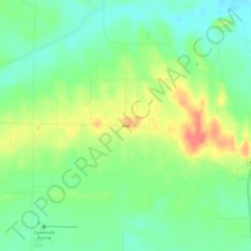
Name: Ard topographic map, elevation, terrain.
Location: Ard, Yell County, Arkansas, États-Unis d'Amérique (35.12481 -93.21184 35.16481 -93.17184)
Average elevation: 120 m
Minimum elevation: 95 m
Maximum elevation: 159 m