
Kidsgrove topographic map
Click on the map to display elevation.
About this map
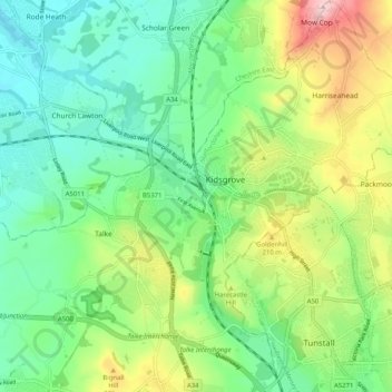
Name: Kidsgrove topographic map, elevation, terrain.
Average elevation: 161 m
Minimum elevation: 79 m
Maximum elevation: 330 m
Other topographic maps
Click on a map to view its topography, its elevation and its terrain.
Swan Bank
United Kingdom > England > Staffordshire > Newcastle-under-Lyme > Madeley Heath
Average elevation: 135 m
The Moss
United Kingdom > England > Staffordshire > Newcastle-under-Lyme > Madeley > The Moss
Average elevation: 122 m