Geolocate

Welby topographic map

Click on the map to display elevation.

About this map

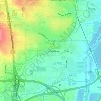
Name: Welby topographic map, elevation, terrain.

Location: Welby, Adams County, Colorado, United States (39.82056 -104.98494 39.85617 -104.94192)

Average elevation: 1,575 m

Minimum elevation: 1,548 m

Maximum elevation: 1,630 m

Gear up for your next adventure:

🥾Trail Hiking Socks - Comfortable socks to prevent blisters and fatigue
🧥Thermal Fleece Jacket - Versatile insulation for changing mountain temperatures
🧣Merino Neck Gaiter - Protects against wind, sun, and cold at high altitudes
🧥Insulated Jacket - Keep warm in cold outdoor conditions
🧭Orienteering Kit - Tools for map reading and navigation in the wild

As an Amazon Associate, this site earns from qualifying purchases at no extra cost to you.