
Hostomel topographic map
Interactive map
Click on the map to display elevation.
About this map
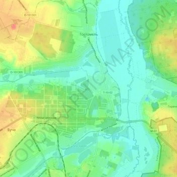
Name: Hostomel topographic map, elevation, terrain.
Average elevation: 123 m
Minimum elevation: 98 m
Maximum elevation: 177 m
Other topographic maps
Click on a map to view its topography, its elevation and its terrain.
Петрівська сільська громада
Петрівська сільська громада, Вишгородський район, Oblast de Kiev, Ukraine
Average elevation: 125 m