Geolocate

Titabor topographic map

Click on the map to display elevation.

About this map

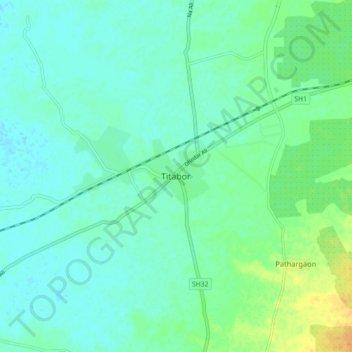
Name: Titabor topographic map, elevation, terrain.

Location: Titabor, Jorhat District, Assam, 785630, India (26.54713 94.14040 26.62713 94.22040)

Average elevation: 97 m

Minimum elevation: 89 m

Maximum elevation: 119 m

Gear up for your next adventure:

🧊Portable Cooler - Keep food and drinks cold during outdoor adventures
🧥Thermal Fleece Jacket - Versatile insulation for changing mountain temperatures
🧢Sun Hat - Wide-brim hat for sun protection
🧢Sun Protection Cap - Breathable cap to protect from sun exposure
🦌Outdoor Trail Camera - Monitor wildlife activity near your favorite spots

As an Amazon Associate, this site earns from qualifying purchases at no extra cost to you.