Geolocate

Alvo topographic map

Click on the map to display elevation.

About this map

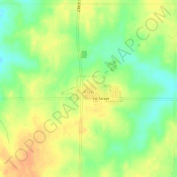
Name: Alvo topographic map, elevation, terrain.

Location: Alvo, Cass County, Nebraska, United States (40.87045 -96.39294 40.87438 -96.38076)

Average elevation: 402 m

Minimum elevation: 383 m

Maximum elevation: 417 m

Gear up for your next adventure:

🥾Waterproof Trail Shoes - Shoes designed to handle wet terrain
🧤Thermal Hiking Gloves - Grip-enhanced gloves for cold-weather altitude trekking
🥽Outdoor Goggles - Protective eyewear for outdoor activities
🧤Insulated Winter Gloves - Heavy-duty protection for sub-zero Canadian adventures
🎒Fully Waterproof Backpack - Total protection for photography gear and electronics

As an Amazon Associate, this site earns from qualifying purchases at no extra cost to you.