
Erna topographic map
Interactive map
Click on the map to display elevation.
About this map
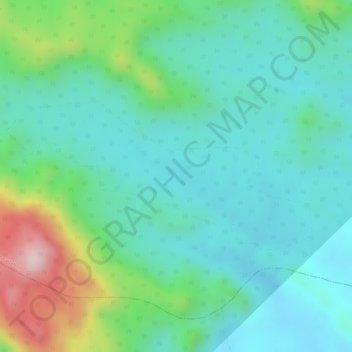
Name: Erna topographic map, elevation, terrain.
Location: Erna, Bhavra Tehsil, Alirajpur District, Madhya Pradesh, India (22.49427 74.24353 22.50574 74.26892)
Average elevation: 435 m
Minimum elevation: 346 m
Maximum elevation: 674 m