Geolocate

Linate topographic map

Click on the map to display elevation.

About this map
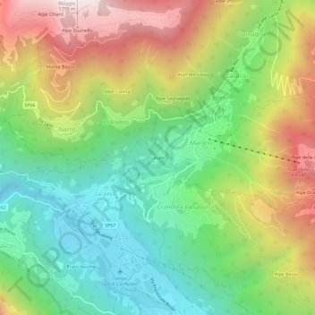
Name: Linate topographic map, elevation, terrain.

Location: Linate, Margno, Lecco, Lombardia, 23832, Italia (46.00907 9.35369 46.04907 9.39369)

Average elevation: 917 m

Minimum elevation: 401 m

Maximum elevation: 1,698 m

Gear up for your next adventure:

🧴Waterproofing Spray - Restore the DWR coating on jackets and tents
🌬️Windproof Camp Stove - Efficient cooking even on exposed mountain peaks
🛰️Satellite Messenger - Emergency communication for areas with no cell service
🧭Orienteering Kit - Tools for map reading and navigation in the wild
🧴Insect Repellent - Protect yourself from bugs during outdoor adventures

As an Amazon Associate, this site earns from qualifying purchases at no extra cost to you.