Geolocate

Changmai topographic map

Click on the map to display elevation.

About this map

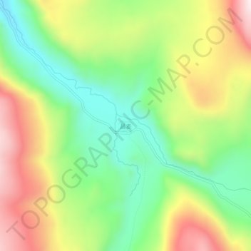
Name: Changmai topographic map, elevation, terrain.

Location: Changmai, Baiyü County, Kardze, Sichuan, 627100, China (31.21589 99.65239 31.25589 99.69239)

Average elevation: 4,248 m

Minimum elevation: 3,971 m

Maximum elevation: 4,619 m

Gear up for your next adventure:

🧴Bear Spray Holster - Quick-access carry for essential Canadian wilderness safety
🥾Mountain Hiking Shoes - Shoes with superior grip for mountainous terrain
🧢Hiking Hat - Sun-protective and breathable hats for long treks
🧴Insect Repellent - Protect yourself from bugs during outdoor adventures
🔋Lithium AA Batteries - Long-lasting power that performs in extreme cold

As an Amazon Associate, this site earns from qualifying purchases at no extra cost to you.