
Tilden topographic map
Click on the map to display elevation.
About this map
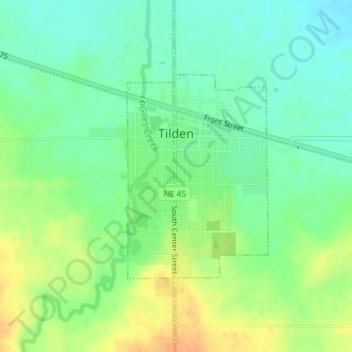
Name: Tilden topographic map, elevation, terrain.
Location: Tilden, Madison County, Nebraska, United States (42.03606 -97.83901 42.05175 -97.82440)
Average elevation: 516 m
Minimum elevation: 500 m
Maximum elevation: 537 m
Other topographic maps
Click on a map to view its topography, its elevation and its terrain.
Norfolk Mobile Home Community
United States > Nebraska > Madison County > Norfolk
Average elevation: 468 m