
Oever topographic map
Interactive map
Click on the map to display elevation.
About this map
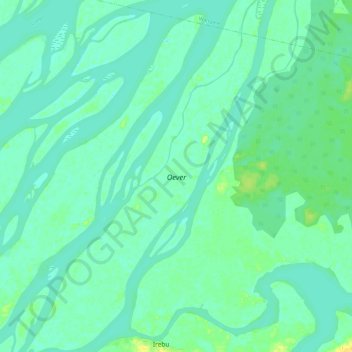
Name: Oever topographic map, elevation, terrain.
Location: Oever, Équateur, DR Kongo (-0.60829 17.73194 -0.48834 17.81185)
Average elevation: 297 m
Minimum elevation: 290 m
Maximum elevation: 316 m