
Carew topographic map
Interactive map
Click on the map to display elevation.
About this map
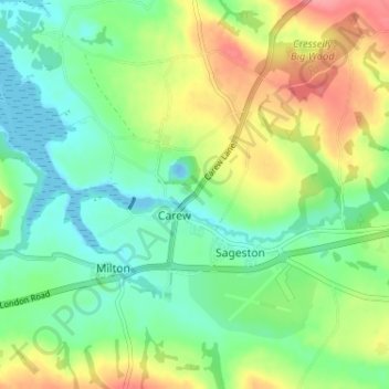
Name: Carew topographic map, elevation, terrain.
Location: Carew, Pembrokeshire, Pays de Galles, SA70 8SL, Royaume-Uni (51.68035 -4.84449 51.72035 -4.80449)
Average elevation: 31 m
Minimum elevation: -17 m
Maximum elevation: 82 m