
규암리 topographic map
Interactive map
Click on the map to display elevation.
About this map
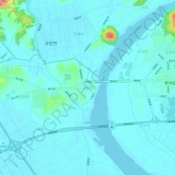
Name: 규암리 topographic map, elevation, terrain.
Location: 규암리, 부여군, Chungcheong du Sud, Corée du Sud (36.25452 126.86752 36.29452 126.90752)
Average elevation: 12 m
Minimum elevation: 2 m
Maximum elevation: 103 m