Geolocate

Loy topographic map

Click on the map to display elevation.

About this map

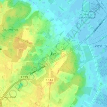
Name: Loy topographic map, elevation, terrain.

Location: Loy, Rastede, Landkreis Ammerland, Lower Saxony, 26180, Germany (53.21032 8.23808 53.25032 8.27808)

Average elevation: 10 m

Minimum elevation: -4 m

Maximum elevation: 25 m

Gear up for your next adventure:

Camping Tent - Weather-resistant tents suitable for 2 to 6 people
💧Collapsible Water Bottle - Space-saving water bottle for outdoor activities
🦌Outdoor Trail Camera - Monitor wildlife activity near your favorite spots
🧭Orienteering Kit - Tools for map reading and navigation in the wild
🧼Travel Hand Sanitizer - Keep hands clean when water is scarce

As an Amazon Associate, this site earns from qualifying purchases at no extra cost to you.