Geolocate

Fanli topographic map

Click on the map to display elevation.

About this map

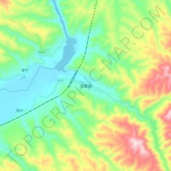
Name: Fanli topographic map, elevation, terrain.

Location: Fanli, Lushi County, Sanmenxia, Henan, China (34.07264 111.15179 34.15264 111.23179)

Average elevation: 739 m

Minimum elevation: 517 m

Maximum elevation: 1,152 m

Gear up for your next adventure:

🦶Hiking Shoe Insoles - Added support for high arches and long days on feet
Lightweight Backpacking Tent - Compact tent for efficient hiking trips
🥾Light Hiking Boots - Lightweight and comfortable boots for day hikes
🥾Trail Hiking Socks - Comfortable socks to prevent blisters and fatigue
🥾Waterproof Hiking Shoes - Durable shoes for wet and rugged trails

As an Amazon Associate, this site earns from qualifying purchases at no extra cost to you.