
Temixco topographic map
Interactive map
Click on the map to display elevation.
About this map
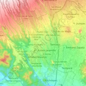
Name: Temixco topographic map, elevation, terrain.
Location: Temixco, Morelos, México (18.77351 -99.35231 18.92186 -99.20311)
Average elevation: 1,326 m
Minimum elevation: 1,054 m
Maximum elevation: 1,749 m
Other topographic maps
Click on a map to view its topography, its elevation and its terrain.