Geolocate
👉 Easily get elevation data in JSON, GeoTIFF and KML formats using Elevation API
Thank you for supporting this site ❤️
Make a donation

Tokyo topographic map

Click on the map to display elevation.

About this map

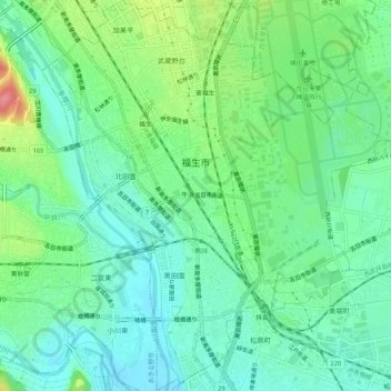
Name: Tokyo topographic map, elevation, terrain.

Location: Tokyo, Fussa, Japan (35.71207 139.31387 35.75485 139.35987)

Average elevation: 126 m

Minimum elevation: 98 m

Maximum elevation: 192 m

Gear up for your next adventure:

💡LED Headlamp - Hands-free illumination for night hiking and camping
🧣Evaporative Cooling Towel - Beat the heat during intense summer climbs
🐕Hiking Dog Pack - Let your canine companion carry their own water and food
🧰Multitool Knife - Compact and versatile tool for outdoor use
🧢Sun Protection Cap - Breathable cap to protect from sun exposure

As an Amazon Associate, this site earns from qualifying purchases at no extra cost to you.