
Hantam Local Municipality topographic map
Interactive map
Click on the map to display elevation.
About this map
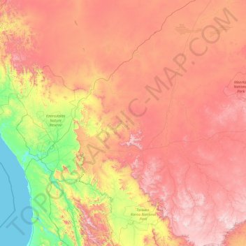
Name: Hantam Local Municipality topographic map, elevation, terrain.
Average elevation: 802 m
Minimum elevation: 0 m
Maximum elevation: 1,952 m
Other topographic maps
Click on a map to view its topography, its elevation and its terrain.
Tankwa Karoo National Park
RSA > Cap du Nord > Hantam Local Municipality
Tankwa Karoo National Park, Hantam Ward 4, Hantam Local Municipality, Namakwa District Municipality, Cap du Nord, RSA
Average elevation: 580 m