
Totora topographic map
Interactive map
Click on the map to display elevation.
About this map
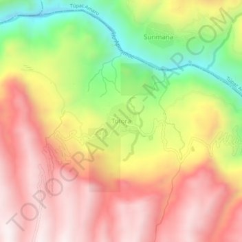
Name: Totora topographic map, elevation, terrain.
Location: Totora, Livitaca, Provincia de Chumbivilcas, Cuzco, Perú (-14.18740 -71.60136 -14.14740 -71.56136)
Average elevation: 3,719 m
Minimum elevation: 3,193 m
Maximum elevation: 4,131 m