
Kerma topographic map
Interactive map
Click on the map to display elevation.
About this map
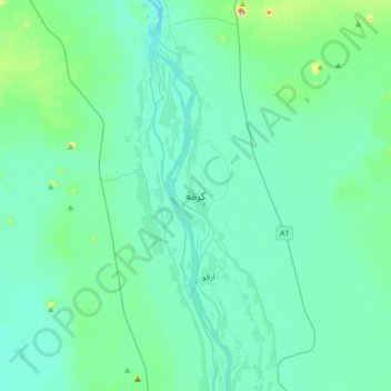
Name: Kerma topographic map, elevation, terrain.
Location: Kerma, Nord, Soudan (19.43310 30.24910 19.75310 30.56910)
Average elevation: 231 m
Minimum elevation: 207 m
Maximum elevation: 395 m