Geolocate

Remondini topographic map

Click on the map to display elevation.

About this map

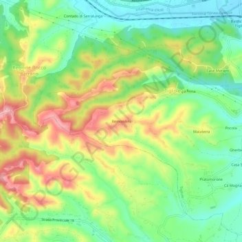
Name: Remondini topographic map, elevation, terrain.

Location: Remondini, Tigliole, Asti, Piemonte, 14016, Italia (44.86187 8.04338 44.90187 8.08338)

Average elevation: 206 m

Minimum elevation: 144 m

Maximum elevation: 290 m

Gear up for your next adventure:

🩹Moleskin Blister Pads - Direct protection for painful foot pressure points
🥾Lightweight Hiking Boots - Boots for comfort and mobility on long hikes
💡Compact LED Flashlight - Powerful and portable flashlight for outdoor use
💡Solar Camping Lamp - Eco-friendly lighting for campsites
🧦Outdoor Socks - Durable socks designed for hiking and outdoor sports

As an Amazon Associate, this site earns from qualifying purchases at no extra cost to you.