
Cherry Tree topographic map
Click on the map to display elevation.
About this map
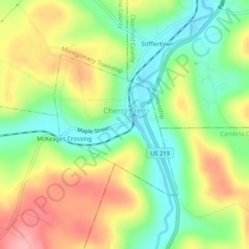
Name: Cherry Tree topographic map, elevation, terrain.
Location: Cherry Tree, Indiana County, Pennsylvania, United States (40.71709 -78.81672 40.73279 -78.79922)
Average elevation: 463 m
Minimum elevation: 409 m
Maximum elevation: 530 m
Other topographic maps
Click on a map to view its topography, its elevation and its terrain.
Dilltown
United States > Pennsylvania > Indiana County > East Wheatfield Township
Average elevation: 474 m
Robinson
United States > Pennsylvania > Indiana County > West Wheatfield Township
Average elevation: 397 m