
Molse Nete topographic map
Interactive map
Click on the map to display elevation.
About this map
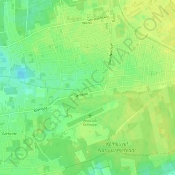
Name: Molse Nete topographic map, elevation, terrain.
Average elevation: 38 m
Minimum elevation: 26 m
Maximum elevation: 45 m
Other topographic maps
Click on a map to view its topography, its elevation and its terrain.
Grote Nete
België > Vlaanderen > Balen
Grote Nete, Balen, Turnhout, Antwerpen, Vlaanderen, 2491, België
Average elevation: 28 m