
Charlie Island topographic map
Interactive map
Click on the map to display elevation.
About this map
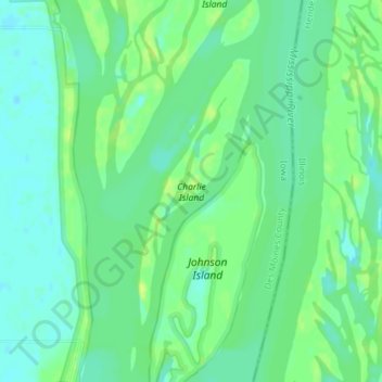
Name: Charlie Island topographic map, elevation, terrain.
Location: Charlie Island, Des Moines County, Iowa, USA (41.00173 -90.95953 41.02062 -90.94909)
Average elevation: 166 m
Minimum elevation: 158 m
Maximum elevation: 175 m
Other topographic maps
Click on a map to view its topography, its elevation and its terrain.
Exposition Park
USA > Iowa > Fort Dodge
Exposition Park, Fort Dodge, Webster County, Iowa, USA
Average elevation: 329 m