Geolocate

Cigelam topographic map

Click on the map to display elevation.

About this map

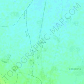
Name: Cigelam topographic map, elevation, terrain.

Location: Cigelam, Serang, Banten, 42191, Indonesia (-6.08741 106.20376 -6.04741 106.24376)

Average elevation: 5 m

Minimum elevation: 1 m

Maximum elevation: 11 m

Gear up for your next adventure:

🧢Sun Protection Cap - Breathable cap to protect from sun exposure
Lightweight Backpacking Tent - Compact tent for efficient hiking trips
🌬️Windproof Camp Stove - Efficient cooking even on exposed mountain peaks
🥾Approach Shoes - Shoes designed for climbing approaches and rugged trails
🦶Hiking Shoe Insoles - Added support for high arches and long days on feet

As an Amazon Associate, this site earns from qualifying purchases at no extra cost to you.