
A Baña topographic map
Interactive map
Click on the map to display elevation.
About this map
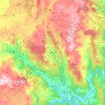
Name: A Baña topographic map, elevation, terrain.
Location: A Baña, A Barcala, Ла-Корунья, Галисия, 15863, Испания (42.91627 -8.84152 43.00686 -8.65624)
Average elevation: 325 m
Minimum elevation: 128 m
Maximum elevation: 516 m