Geolocate

Ear Mountain topographic map

Click on the map to display elevation.

About this map
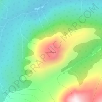
Name: Ear Mountain topographic map, elevation, terrain.

Location: Ear Mountain, Stikine Region, British Columbia, Canada (59.73619 -134.05016 59.73629 -134.05006)

Average elevation: 1,203 m

Minimum elevation: 959 m

Maximum elevation: 1,706 m

Gear up for your next adventure:

🧭GPS Outdoor Watch - Smart watch for navigation and fitness tracking in nature
🔭Compact Binoculars - Lightweight optics for scouting trails and wildlife
🧢Sun Hat - Wide-brim hat for sun protection
🧦Crew Hiking Socks - Comfortable socks for long-distance hikes
🎒Fully Waterproof Backpack - Total protection for photography gear and electronics

As an Amazon Associate, this site earns from qualifying purchases at no extra cost to you.