Geolocate

Bastit topographic map

Click on the map to display elevation.

About this map
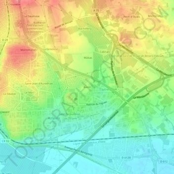
Name: Bastit topographic map, elevation, terrain.

Location: Bastit, Béziers, Hérault, Occitanie, France métropolitaine, 34500, France (43.31700 3.25142 43.35700 3.29142)

Average elevation: 37 m

Minimum elevation: 1 m

Maximum elevation: 83 m

Other topographic maps

Click on a map to view its topography, its elevation and its terrain.

34500

France > Occitanie > Hérault > Béziers

Average elevation: 43 m

Gear up for your next adventure:

🌡️Emergency Mylar Blankets - Compact thermal protection for unexpected nights outdoors
🧭GPS Outdoor Watch - Smart watch for navigation and fitness tracking in nature
🛶Waterproof Dry Bags - Keep electronics and clothes dry during river crossings
🕯️Camping Lantern - Illuminates your entire campsite with high-efficiency LEDs
🧊Insulated Water Bottle - Keeps drinks cold in summer and prevents freezing in winter

As an Amazon Associate, this site earns from qualifying purchases at no extra cost to you.