Geolocate

Jojo topographic map

Click on the map to display elevation.

About this map

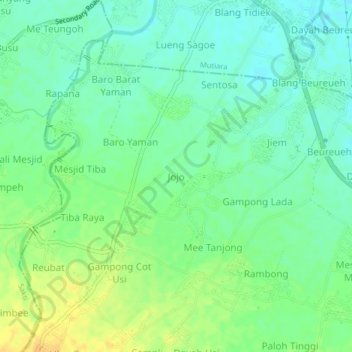
Name: Jojo topographic map, elevation, terrain.

Location: Jojo, Mutiara Timur, Pidie, Aceh, Sumatra, 24164, Indonesia (5.23454 95.95507 5.27454 95.99507)

Average elevation: 25 m

Minimum elevation: 14 m

Maximum elevation: 41 m

Gear up for your next adventure:

🥾Waterproof Trail Shoes - Shoes designed to handle wet terrain
🏕️Camping Hammock - Integrated protection for sleeping between trees
🥾Trail Hiking Shoes - Durable shoes designed for rugged trails
🥾Hiking Shoes - Durable and comfortable shoes for trail hiking
🌬️Windproof Camp Stove - Efficient cooking even on exposed mountain peaks

As an Amazon Associate, this site earns from qualifying purchases at no extra cost to you.