Bad Leonfelden topographic map
Click on the map to display elevation.
Bad Leonfelden
The highest elevation is on the eastern slope of the Sternstein at around 970 m above sea level near the village of Oberstern and the lowest point at around 675 m above sea level near the border to the village of Schönau in the municipality of Zwettl an der Rodl. The centre of Bad Leonfelden is 750 m above sea level.
About this map
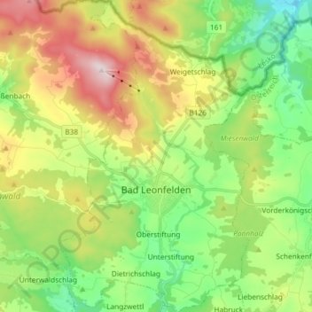
Name: Bad Leonfelden topographic map, elevation, terrain.
Average elevation: 778 m
Minimum elevation: 578 m
Maximum elevation: 1,107 m
Other topographic maps
Click on a map to view its topography, its elevation and its terrain.