Geolocate

Old Sam topographic map

Click on the map to display elevation.

About this map

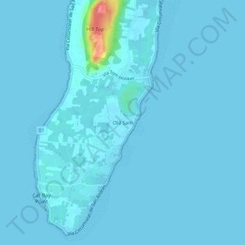
Name: Old Sam topographic map, elevation, terrain.

Location: Old Sam, San Andrés, San Andrés and Providencia, Colombia (12.47875 -81.74057 12.51875 -81.70057)

Average elevation: 4 m

Minimum elevation: -1 m

Maximum elevation: 91 m

Gear up for your next adventure:

🐕Hiking Dog Pack - Let your canine companion carry their own water and food
Camping Coffee Maker - Brew fresh coffee anywhere on the topographic map
🧥Thermal Fleece Jacket - Versatile insulation for changing mountain temperatures
🥾Trekking Poles - Adjustable trekking poles to reduce knee stress and improve stability
🥾Waterproof Hiking Shoes - Durable shoes for wet and rugged trails

As an Amazon Associate, this site earns from qualifying purchases at no extra cost to you.