Geolocate

Jerusalem topographic map

Click on the map to display elevation.

About this map

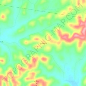
Name: Jerusalem topographic map, elevation, terrain.

Location: Jerusalem, Lincoln County, Tennessee, United States (35.22341 -86.80444 35.26341 -86.76444)

Average elevation: 261 m

Minimum elevation: 212 m

Maximum elevation: 340 m

Other topographic maps

Click on a map to view its topography, its elevation and its terrain.

Fayetteville

United States > Tennessee > Lincoln County

Average elevation: 226 m

Petersburg

United States > Tennessee > Lincoln County

Average elevation: 243 m

Gear up for your next adventure:

🥾Durable Hiking Shoes - Long-lasting shoes for frequent hiking
🧦Merino Wool Socks - Moisture-wicking comfort for long-distance hiking
🥾Trekking Poles - Adjustable trekking poles to reduce knee stress and improve stability
🧦Crew Hiking Socks - Comfortable socks for long-distance hikes
🔨Vehicle Emergency Tool - Safety tool for remote road trips to trailheads

As an Amazon Associate, this site earns from qualifying purchases at no extra cost to you.