
Porot topographic map
Interactive map
Click on the map to display elevation.
About this map
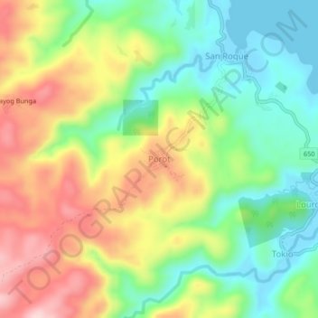
Name: Porot topographic map, elevation, terrain.
Location: Porot, Catanduanes, Bicol Region, Philippinen (14.02164 124.20609 14.06164 124.24609)
Average elevation: 109 m
Minimum elevation: -3 m
Maximum elevation: 257 m
Other topographic maps
Click on a map to view its topography, its elevation and its terrain.