
Stadspark Geel topographic map
Interactive map
Click on the map to display elevation.
About this map
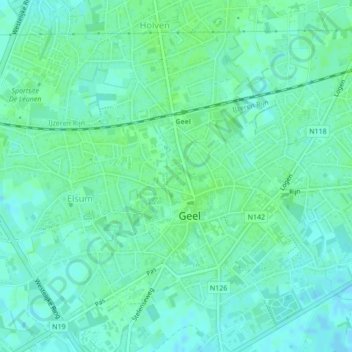
Name: Stadspark Geel topographic map, elevation, terrain.
Location: Stadspark Geel, Geel, Turnhout, Antwerpen, Vlaanderen, België (51.16314 4.98744 51.16504 4.98994)
Average elevation: 22 m
Minimum elevation: 18 m
Maximum elevation: 25 m
Other topographic maps
Click on a map to view its topography, its elevation and its terrain.