Geolocate

Kotwali topographic map

Click on the map to display elevation.

About this map

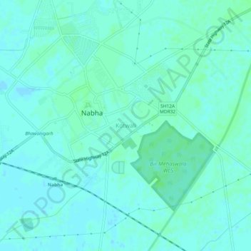
Name: Kotwali topographic map, elevation, terrain.

Location: Kotwali, Nabha Tahsil, Patiala, Punjab, 147201, India (30.35195 76.13911 30.39195 76.17911)

Average elevation: 252 m

Minimum elevation: 249 m

Maximum elevation: 255 m

Gear up for your next adventure:

🧥Waterproof Hiking Jacket - Protect yourself from rain and wind while hiking
💡LED Headlamp - Hands-free illumination for night hiking and camping
🎒Backpack Rain Cover - External shield to keep your entire pack dry
💧Hydration Bladder - Hands-free hydration solution for long treks
🥾Trekking Poles - Adjustable trekking poles to reduce knee stress and improve stability

As an Amazon Associate, this site earns from qualifying purchases at no extra cost to you.