Geolocate

Ledge Point topographic map

Click on the map to display elevation.

About this map
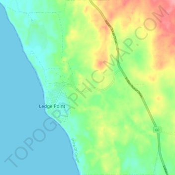
Name: Ledge Point topographic map, elevation, terrain.

Location: Ledge Point, Western Australia, Australia (-31.13586 115.34928 -31.06485 115.42535)

Average elevation: 29 m

Minimum elevation: -1 m

Maximum elevation: 92 m

Gear up for your next adventure:

🧭GPS Handheld Device - Reliable GPS navigation for outdoor adventures
🧊Portable Cooler - Keep food and drinks cold during outdoor adventures
👟Leg Gaiters - Keep debris, mud, and snow out of your boots
🧼Travel Hand Sanitizer - Keep hands clean when water is scarce
🔥Camping Stove - Portable stoves to cook outdoors with ease

As an Amazon Associate, this site earns from qualifying purchases at no extra cost to you.