Geolocate

Jansath topographic map

Click on the map to display elevation.

About this map

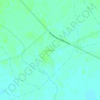
Name: Jansath topographic map, elevation, terrain.

Location: Jansath, Muzaffarnagar, Uttar Pradesh, 251314, India (29.30661 77.83042 29.34661 77.87042)

Average elevation: 241 m

Minimum elevation: 237 m

Maximum elevation: 245 m

Gear up for your next adventure:

🚲MTB Frame Bag - Carry tools and maps directly on your bicycle frame
🧦Outdoor Socks - Durable socks designed for hiking and outdoor sports
🔦LED Flashlight - Powerful and long-lasting flashlight for camping and emergencies
🛶Kayak Dry Bag - Waterproof storage for kayaking adventures
🧦Thermal Socks - Warm socks for winter hiking or camping

As an Amazon Associate, this site earns from qualifying purchases at no extra cost to you.