Geolocate

Brallo topographic map

Click on the map to display elevation.

About this map

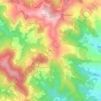
Name: Brallo topographic map, elevation, terrain.

Location: Brallo, Serole, Asti, Piemonte, Italia (44.52784 8.24599 44.56784 8.28599)

Average elevation: 571 m

Minimum elevation: 294 m

Maximum elevation: 840 m

Gear up for your next adventure:

🥾Approach Boots - Comfortable boots for hiking and climbing approaches
🧰Multitool Knife - Compact and versatile tool for outdoor use
🔦LED Headtorch - Bright and durable light for night activities
🥘Camping Cookware Set - Compact nesting pots and pans for trail cooking
🛁Quick-Dry Microfiber Towel - Space-saving towel that dries rapidly on the move

As an Amazon Associate, this site earns from qualifying purchases at no extra cost to you.