Geolocate

Badwai topographic map

Click on the map to display elevation.

About this map

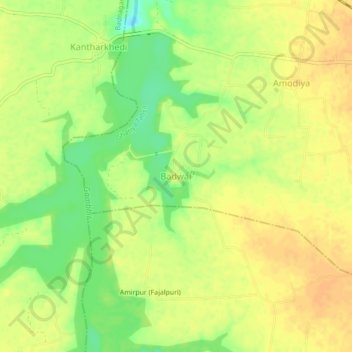
Name: Badwai topographic map, elevation, terrain.

Location: Badwai, Ghatiya Tahsil, Ujjain, Madhya Pradesh, India (23.17332 75.62024 23.21332 75.66024)

Average elevation: 488 m

Minimum elevation: 468 m

Maximum elevation: 498 m

Other topographic maps

Click on a map to view its topography, its elevation and its terrain.

Daulatpur

India > Madhya Pradesh > Ghatiya Tahsil > Daulatpur

Average elevation: 494 m

Gear up for your next adventure:

🎒Hiking Backpack - Lightweight and ergonomic backpacks for day hikes or multi-day treks
🔦LED Headtorch - Bright and durable light for night activities
🧥Waterproof Jacket - Lightweight rain jackets for hiking and outdoor activities
🛶Waterproof Dry Bags - Keep electronics and clothes dry during river crossings
🧭GPS Outdoor Watch - Smart watch for navigation and fitness tracking in nature

As an Amazon Associate, this site earns from qualifying purchases at no extra cost to you.