Geolocate

Pleasant Point topographic map

Click on the map to display elevation.

About this map

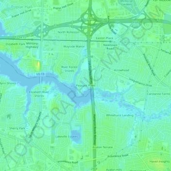
Name: Pleasant Point topographic map, elevation, terrain.

Location: Pleasant Point, Norfolk, Virginia, 23502, United States (36.81070 -76.21744 36.85070 -76.17744)

Average elevation: 7 m

Minimum elevation: -2 m

Maximum elevation: 19 m

Other topographic maps

Click on a map to view its topography, its elevation and its terrain.

Gear up for your next adventure:

Bushcraft Tarp - Versatile emergency shelter or gear protection
🌡️Emergency Mylar Blankets - Compact thermal protection for unexpected nights outdoors
🥾Trail Running Shoes - Lightweight and durable shoes for trail running
🧣Evaporative Cooling Towel - Beat the heat during intense summer climbs
🥽Outdoor Goggles - Protective eyewear for outdoor activities

As an Amazon Associate, this site earns from qualifying purchases at no extra cost to you.