Geolocate

Mečet topographic map

Click on the map to display elevation.

About this map

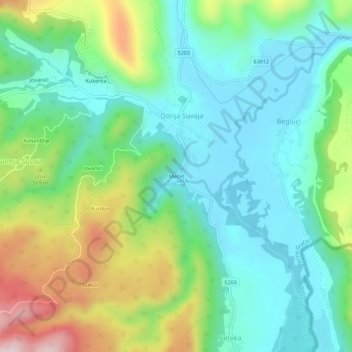
Name: Mečet topographic map, elevation, terrain.

Location: Mečet, Općina Gračac, Zadar County, 23445, Croatia (44.38321 16.08802 44.42321 16.12802)

Average elevation: 487 m

Minimum elevation: 363 m

Maximum elevation: 773 m

Gear up for your next adventure:

🕯️Camping Lantern - Illuminates your entire campsite with high-efficiency LEDs
🛶Kayak Accessories - Essential gear for safe and fun kayaking adventures
🧥Waterproof Jacket - Lightweight rain jackets for hiking and outdoor activities
🥽Outdoor Goggles - Protective eyewear for outdoor activities
🕶️Polarized Sunglasses - Reduces glare from snow and water at high elevations

As an Amazon Associate, this site earns from qualifying purchases at no extra cost to you.