Geolocate

Etna topographic map

Click on the map to display elevation.

About this map

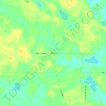
Name: Etna topographic map, elevation, terrain.

Location: Etna, Whitley County, Indiana, United States (41.25366 -85.59359 41.29366 -85.55359)

Average elevation: 284 m

Minimum elevation: 270 m

Maximum elevation: 298 m

Other topographic maps

Click on a map to view its topography, its elevation and its terrain.

Churubusco

United States > Indiana > Whitley County

Average elevation: 274 m

Larwill

United States > Indiana > Whitley County

Average elevation: 288 m

Gear up for your next adventure:

🧦Crew Hiking Socks - Comfortable socks for long-distance hikes
Tent Footprint - Protect tent floor and increase durability
🧭GPS Tracker - Track your location in remote areas safely
🥾Trail Hiking Shoes - Durable shoes designed for rugged trails
💧Filtered Water Bottle - Safe drinking water on the go

As an Amazon Associate, this site earns from qualifying purchases at no extra cost to you.