
Phú Lương topographic map
Interactive map
Click on the map to display elevation.
About this map
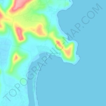
Name: Phú Lương topographic map, elevation, terrain.
Location: Phú Lương, Tuy An, Phú Yên, Vietnam (13.31737 109.26925 13.35737 109.30925)
Average elevation: 15 m
Minimum elevation: -1 m
Maximum elevation: 112 m