Geolocate

Valduga topographic map

Click on the map to display elevation.

About this map

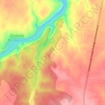
Name: Valduga topographic map, elevation, terrain.

Location: Valduga, Robleda, Salamanca, Castile and León, 37521, Spain (40.39742 -6.62727 40.41742 -6.60727)

Average elevation: 809 m

Minimum elevation: 730 m

Maximum elevation: 846 m

Gear up for your next adventure:

🛶Waterproof Dry Bags - Keep electronics and clothes dry during river crossings
🧤Rechargeable Heated Gloves - Extreme warmth for Canadian winter expeditions
🧥Softshell Hiking Jacket - The perfect balance of wind protection and breathability
🧊Portable Cooler - Keep food and drinks cold during outdoor adventures
🐕Hiking Dog Pack - Let your canine companion carry their own water and food

As an Amazon Associate, this site earns from qualifying purchases at no extra cost to you.