
Arva topographic map
Interactive map
Click on the map to display elevation.
About this map
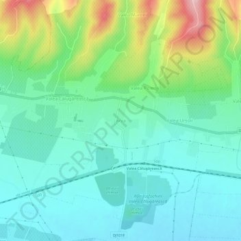
Name: Arva topographic map, elevation, terrain.
Location: Arva, Valea Călugărească, Prahova, 107621, Romania (44.93874 26.14059 44.97874 26.18059)
Average elevation: 170 m
Minimum elevation: 119 m
Maximum elevation: 307 m
Other topographic maps
Click on a map to view its topography, its elevation and its terrain.