
Thank you for supporting this site ❤️
Make a donation
Make a donation
Gear up for your next adventure:
As an Amazon Associate, this site earns from qualifying purchases at no extra cost to you.
Punara topographic map
Click on the map to display elevation.
Thank you for supporting this site ❤️
Make a donation
Make a donation
Gear up for your next adventure:
As an Amazon Associate, this site earns from qualifying purchases at no extra cost to you.
About this map
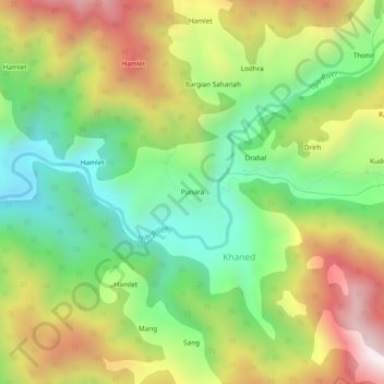
Name: Punara topographic map, elevation, terrain.
Location: Punara, Khaned, Ramnagar, Udhampur, Jammu and Kashmir, India (32.77166 75.57385 32.81166 75.61385)
Average elevation: 2,117 m
Minimum elevation: 1,704 m
Maximum elevation: 2,676 m
Thank you for supporting this site ❤️
Make a donation
Make a donation
Gear up for your next adventure:
As an Amazon Associate, this site earns from qualifying purchases at no extra cost to you.