
Lunda topographic map
Interactive map
Click on the map to display elevation.
About this map
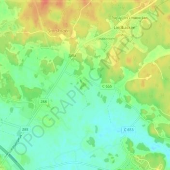
Name: Lunda topographic map, elevation, terrain.
Location: Lunda, Uppsala, Provincia de Upsala, Svealand, 75449, Suecia (59.87777 17.70265 59.91777 17.74265)
Average elevation: 30 m
Minimum elevation: 13 m
Maximum elevation: 53 m