
Büyük Deliller topographic map
Interactive map
Click on the map to display elevation.
About this map
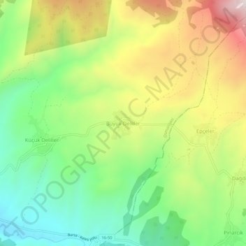
Name: Büyük Deliller topographic map, elevation, terrain.
Location: Büyük Deliller, Osmangazi, Bursa, Marmara Region, Turkey (39.99288 29.18695 40.03288 29.22695)
Average elevation: 1,117 m
Minimum elevation: 833 m
Maximum elevation: 1,515 m
Other topographic maps
Click on a map to view its topography, its elevation and its terrain.