
Esneux topographic map
Interactive map
Click on the map to display elevation.
About this map
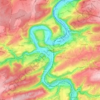
Name: Esneux topographic map, elevation, terrain.
Location: Esneux, Luik, Wallonië, 4130, België (50.50346 5.49736 50.56398 5.61204)
Average elevation: 194 m
Minimum elevation: 71 m
Maximum elevation: 288 m
Other topographic maps
Click on a map to view its topography, its elevation and its terrain.