
Miller Water Table topographic map
Click on the map to display elevation.
About this map
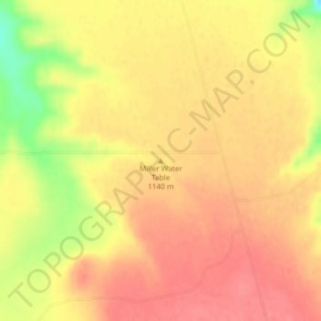
Name: Miller Water Table topographic map, elevation, terrain.
Location: Miller Water Table, Owyhee County, Idaho, United States (42.65013 -115.73652 42.65023 -115.73642)
Average elevation: 1,140 m
Minimum elevation: 1,094 m
Maximum elevation: 1,159 m